Maps of the principal regions for a Kenya safari
These two quite different maps help you to understand the scale and features of Kenya: our REFERENCE MAP is Expert Africa's own artwork map, clearly identifying Kenya's national parks, national reserves and private and community conservancies; then the GOOGLE MAP shows the country's diverse topography and landscapes. Kenya is a country more than twice the size of the UK and 50 per cent bigger than California, and it includes sweeping, grassy plains and highland peaks, arid deserts and an indented coastline fringed by mangroves, white sand beaches and coral reefs. On the Google map, as well as the satellite view do click the "Map" and "Terrain" views.
Our map of Kenya
This a sketch map of Kenya – showing its key road arteries, national parks, towns, and areas of interest for visitors.

Google map of Kenya’s national parks
Kenya is an extraordinarily diverse country: most of the north and far east is desert or semi-desert, while highlands dominate the centre. Slicing through the west – from Lake Turkana south to the Tanzanian border – is the Great Rift Valley. Beyond the Rift, in the south-west, lies the Maasai Mara National Reserve.
Our top safaris in Kenya
Here are 24 great Kenya safaris to inspire you.
Kenya fact file
Useful information to help you prepare for your trip in Kenya
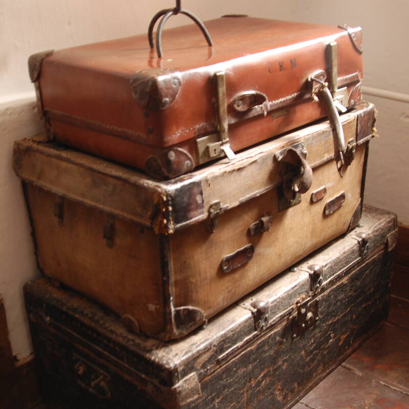
Kenya safari packing list
Advice and tips on what to take on safari

LGBT travel in Kenya
Attitude, the law & our experiences

Safety in Kenya
Keeping safe, our experiences & our advice

Tipping in Kenya
Expectations & guidelines for tipping

Weather & climate
The best time to visit Kenya

Looking for inspiration on where to travel next?
Visit our trip chooser to explore your options and find inspiration for your perfect African adventure
Inspire me