Maps of Rwanda: two styles
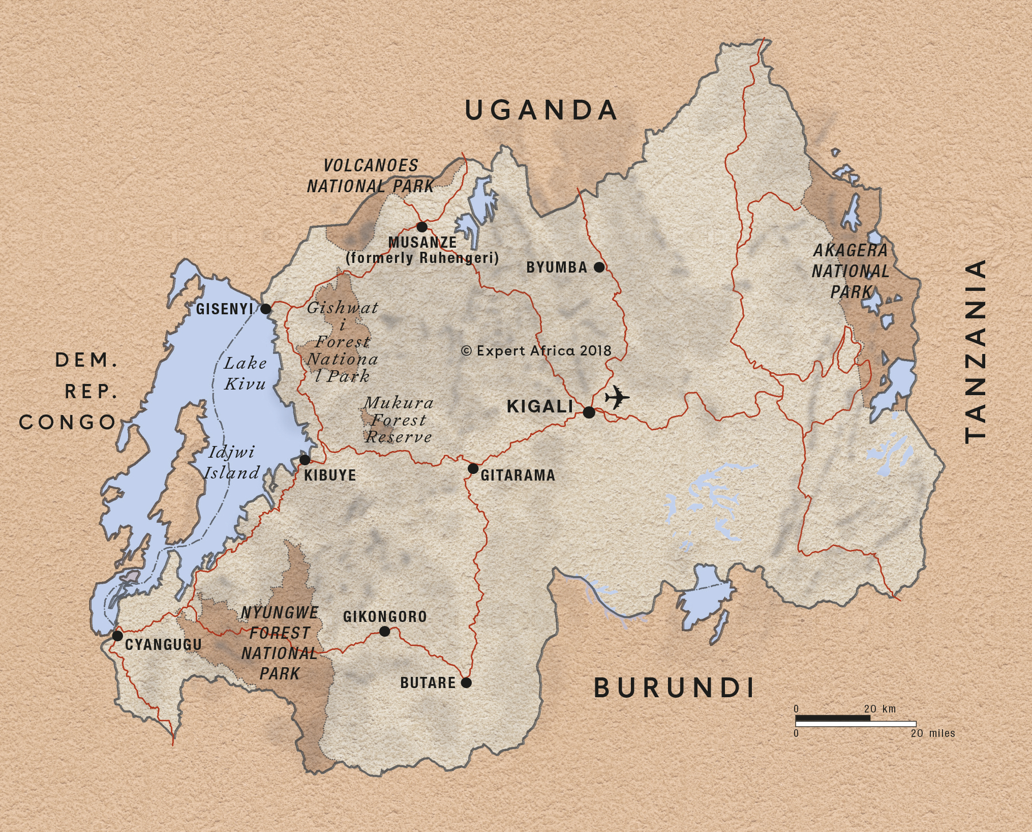
With our two different styles of mapping, the topography of Rwanda is thrown into relief. Zoom into the areas and then the lodges and reserves on our maps for a vivid indication of the lie of the land, dotted with hills or “collines”.
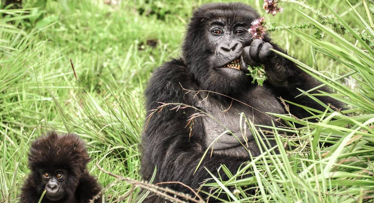
At a glance, it’s clear that the country’s western fringe is dominated by Lake Kivu, which in turn leads up to the lush forests of (Volcanoes, Nyungwe Forest and Gishwati-Mukura national parks – beloved of the primates.
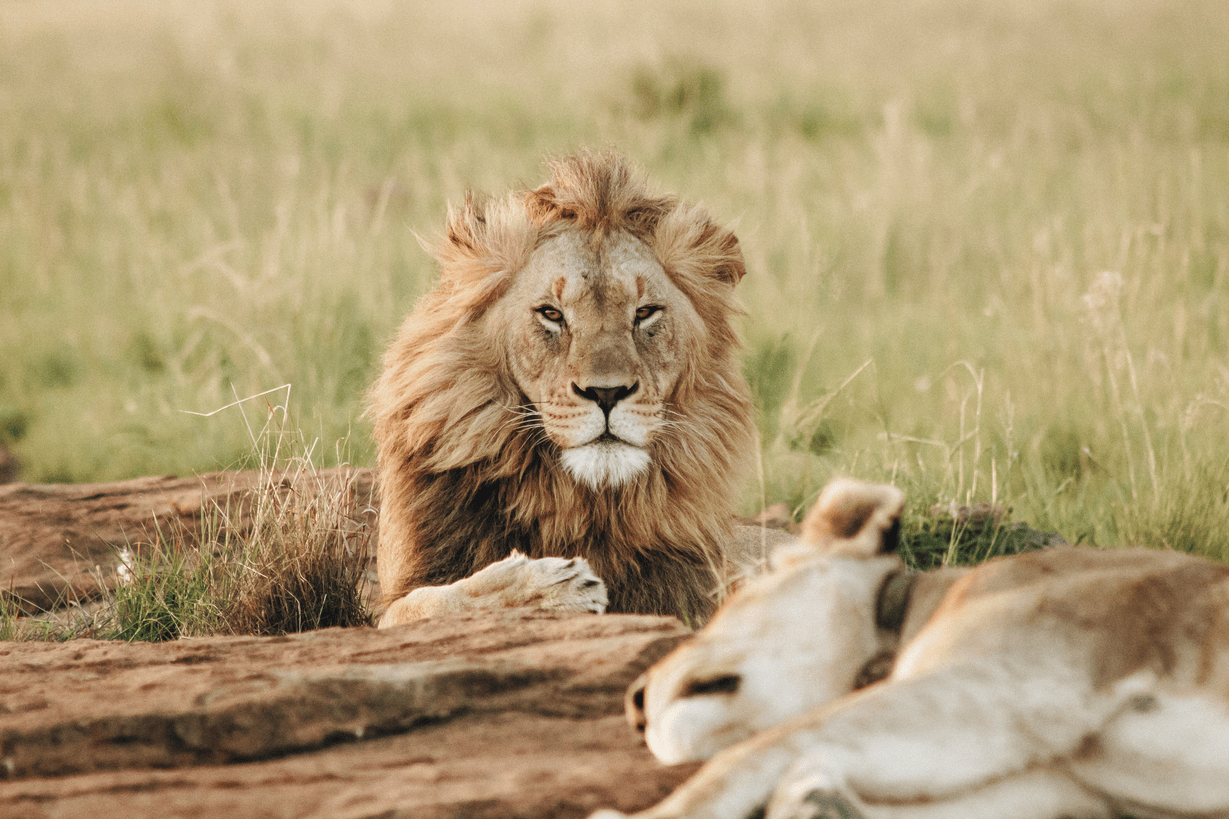
Heading east brings you to the lower-lying plains of Akagera National Park, whose swathes of savannah are populated by more traditional safari animals.
Click onto any of the markers and follow the links in the bubbles until you find maps of these areas, with precise locations for the various safari camps and lodges.
Our map of Rwanda
This a sketch map of Rwanda – showing its key road arteries, national parks, towns, and areas of interest for visitors.
Google map of Rwanda
This map marks Rwanda's main safaris areas. Click on the markers to read about each, then click the titles in the pop-up boxes to see more.
Our top safaris in Rwanda
Here are 9 great Rwanda safaris to inspire you.
Rwanda fact file
Useful information to help you prepare for your trip in Rwanda

Flights to Rwanda
How to get to Rwanda & local destinations
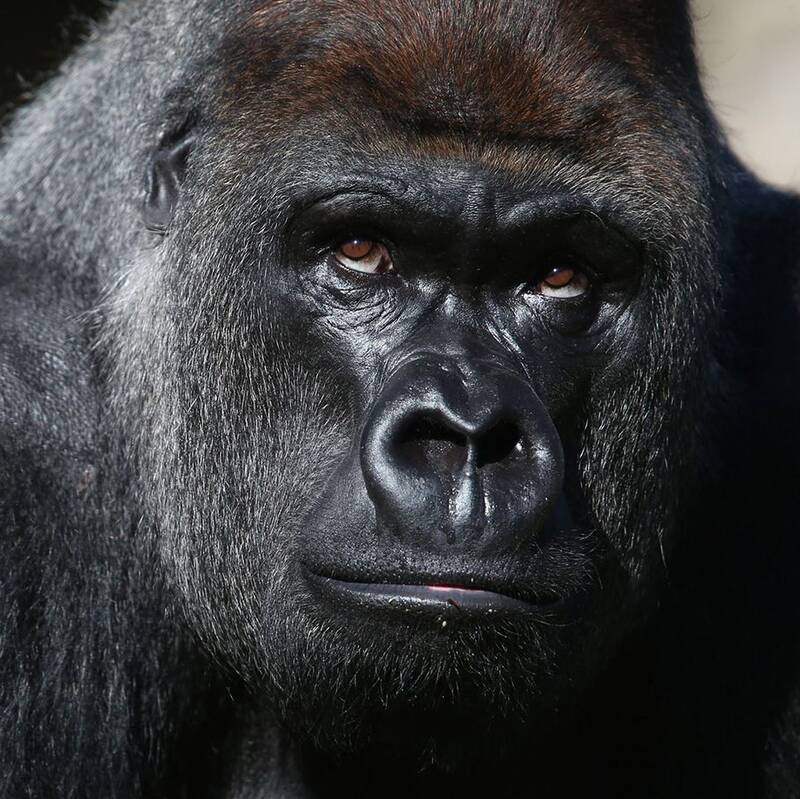
Gorilla trekking
The intricacies & etiquette of gorilla trekking

LGBT travel in Rwanda
Attitudes, the law & our experiences
Rwanda general info
Essential travel info for Rwanda

Rwanda packing list
Advice and tips on what to take on safari

Tipping in Rwanda
Expectations & guidelines for tipping

Weather & climate
The best time to visit Rwanda

Looking for inspiration on where to travel next?
Visit our trip chooser to explore your options and find inspiration for your perfect African adventure
Inspire me